Contact MHC
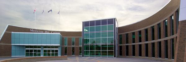
Medicine Hat Campus
Email: info@mhc.ab.caTelephone: 403.529.3811
Toll Free: 1.866.282.8394
299 College Drive SE
Medicine Hat, AB - Canada
T1A 3Y6
Hours
Monday to Saturday: 7 a.m. - 10 p.m.
Sundays and holidays: 9 a.m. - 7 p.m.
Access is available outside these hours through the main doors outside the information desk by calling Security at 403.529.3911. Please note you must carry your college ID card with you at all times. In case of emergency, eg. fire, it is important that security know who is in the facility after regular hours. Students are required to sign in/out at the information desk. Employees are required to call into Security.
Click here for Medicine Hat Campus Directory
Brooks Campus
Email: info@mhc.ab.ca
Telephone: 403.362.1677
Academic Advising: 403.362.1682
Toll Free: 1.866.282.8394
200 Horticultural Station Road E
Brooks, AB - Canada
T1R 1E5
Hours
Monday to Friday: 7 a.m. - 7 p.m. (Sept. 1 - June 30*)
Closed Saturday & Sunday
*Doors open weekdays at 7 a.m. during July and August. Closing time depends on scheduled academic activity over the summer months.
Click here for Brooks Campus Directory

