Hours & Maps
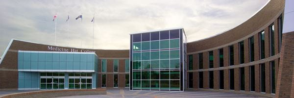
Medicine Hat Campus
Hours of Operation
- Weekdays – 7 am to 10 pm
- Weekends – 7 am to 7 pm
- Holidays – Closed
Directions
The Medicine Hat campus is located adjacent to the Trans-Canada Highway. Use Google Maps or follow these directions to get to the campus from the highway:
- Exit the highway at the South Ridge Drive/College Ave interchange.
- Head north on College Avenue.
- Turn left at the first traffic lights to enter the campus.
Campus Maps
Brooks Campus
Hours of Operation
- Weekdays – 7:30 am to 9:30 pm
- Weekends and Holidays – Open for students and planned activities between 7:30 am to 9:30 pm
Contractors
Contractors may access the facility by contacting Facility Operations, at least two working days in advance, by emailing facilityoperations@mhc.ab.ca. Required information includes the work being done and the college contact who will meet the contractor.
Deliveries
The campus will receive deliveries by contacting Facility Operations, at least two working days in advance, by emailing facilityoperations@mhc.ab.ca. Required information includes the size, weight and expected date of delivery. Vendors/shippers must be made aware that the campus does not have an elevated loading dock. Large deliveries may be made at the East Entrance with the overhead door. Walk in deliveries are welcome through the main entrance.
Directions
The Brooks campus is located adjacent to the Trans-Canada Highway in Brooks, Alberta, 110 kilometres west of Medicine Hat. Use Google Maps or follow these directions to get to the campus from the highway:
- Exit the highway at the Cassils Road interchange.
- Your next turn is very close! Head west on Cassils Road.
- Turn south on College Drive; the campus is on your left.